|
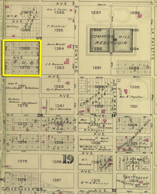
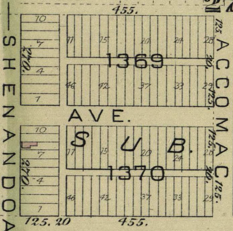
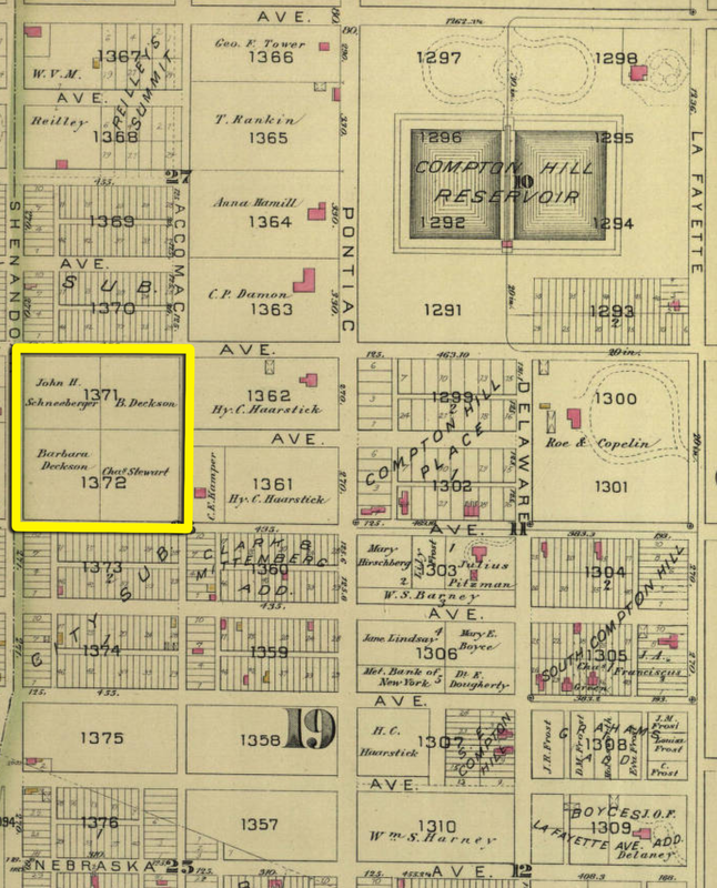
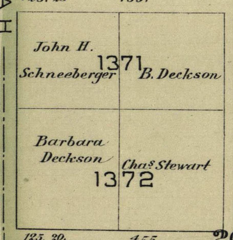
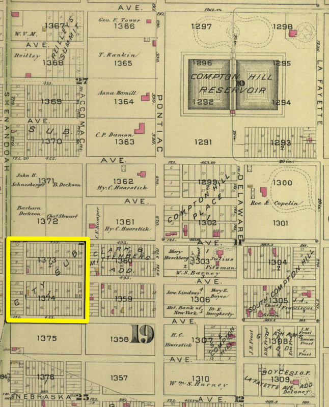
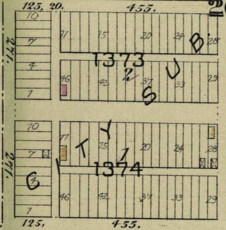
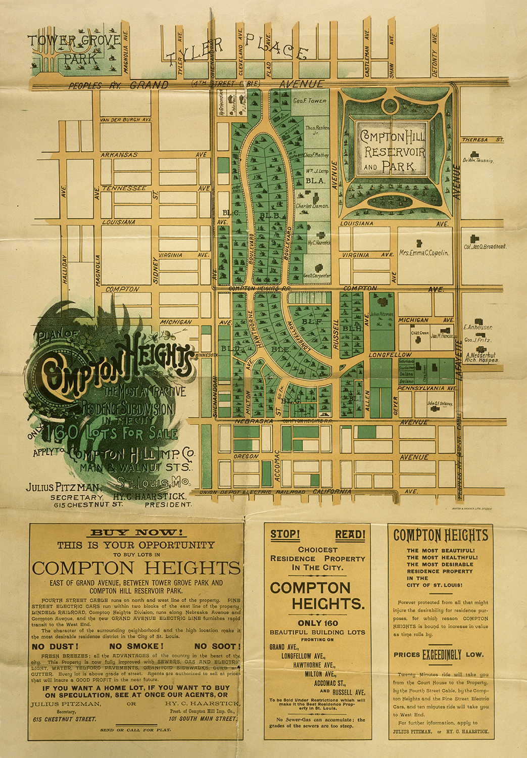
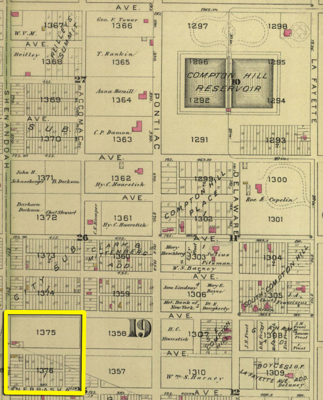
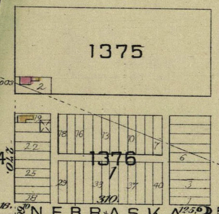
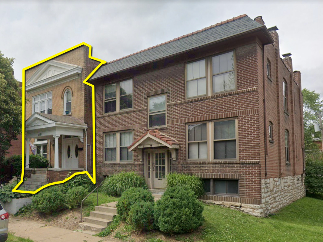
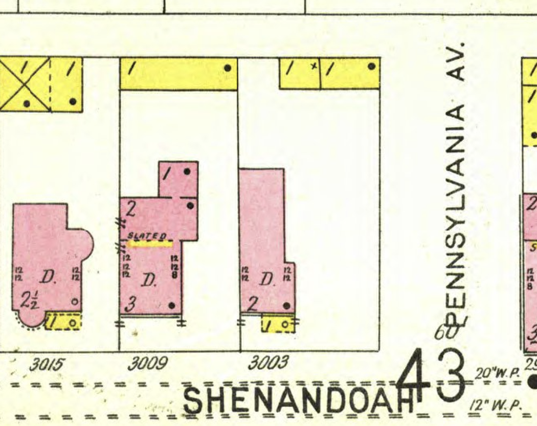
Last time I dug into blocks 1367 and 1368. This time, let's do 1369 and 1370. In that whole entire block, the 1883 map only shows 1 structure in existence, a tiny little brick (that's what the pink color indicates) building. Let's go ahead and skip it; it still stands today and I know the guy who owns it. 😉 Continuing down the map, blocks 1371 and 1372 contained no recognizable structures in 1883. It's hard to discern from the 1876 map if anything stood on that ground prior to 1883, but my guess is that the land was entirely undeveloped. That said, I was curious about the owners of the land. Were any of them noteworthy? Via a halfway quick and dirty search, here's what the 3 landowners were up to in 1883: John H. Schneeberger was a boot and shoemaker, operating a store at 310 Olive, right in the thick of things downtown. He lived at 1012 Winter Avenue, later renamed Morrison Avenue, in the Soulard area (LaSalle Park) and died in 1900. How he came to own a couple acres of undeveloped ground in Compton Heights is anybody's guess. I did my best to come up with something on Barbara Deckson, thinking it'd be easy since she'd stick out like a sore thumb -- there weren't a lot of female landowners in 1883 unless they married into wealth or inherited land from a wealthy family member. Unfortunately, there are literally zero records of ANYBODY named "Deckson" around that time period in St. Louis, let alone a "Barbara". Maybe the name is misspelled, or maybe information on her is lost due to the way records of females were kept back then: almost always referred to as Mrs. Husband's Name. Moving on to Charles Stewart, I figured he'd be tricky to pin down because of the commonness of his name. And he was; the records of the day show about a dozen people named "Charles Stewart" and there's no way to identify which one owned half of block 1372. So...another bust. Moving on to blocks 1373 and 1374, there were 3 dwelling structures in 1883, all along Michigan Avenue, and 2 sheds. The building on lot 46 of block 1373 and the building on lot 77 of block 1374, they both show up on the 1876 map but everything in both blocks was cleared between 1883 and 1900 to make way for Julius Pitzman's planned residential development. The last 2 neighborhood blocks along Shenandoah are blocks 1375 and 1376. The wood-framed house on lot 79 of block 1376, it' was gone by 1903. The house on lot 2 of block 1375...I don't know what to think. Block 1375 shows a small brick building with a wood-framed section on the back. Could have been a wooden addition, could have been a porch, who knows. The address for that particular structure, per the 1883 map, is 3003 Shenandoah; today it's 3005 Shenandoah on account of a multi-fam building being constructed on the lot between it and the cross street. I doubt the building still stands, but I can't find any records to verify or refute this. Here's what we know of the 1883 building:
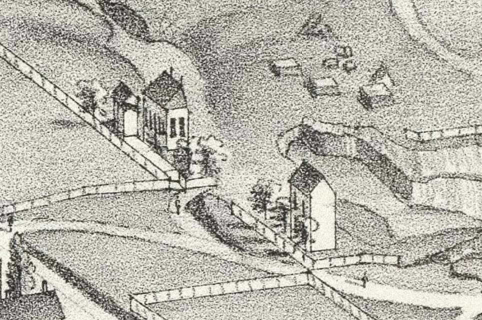
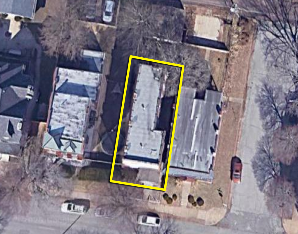
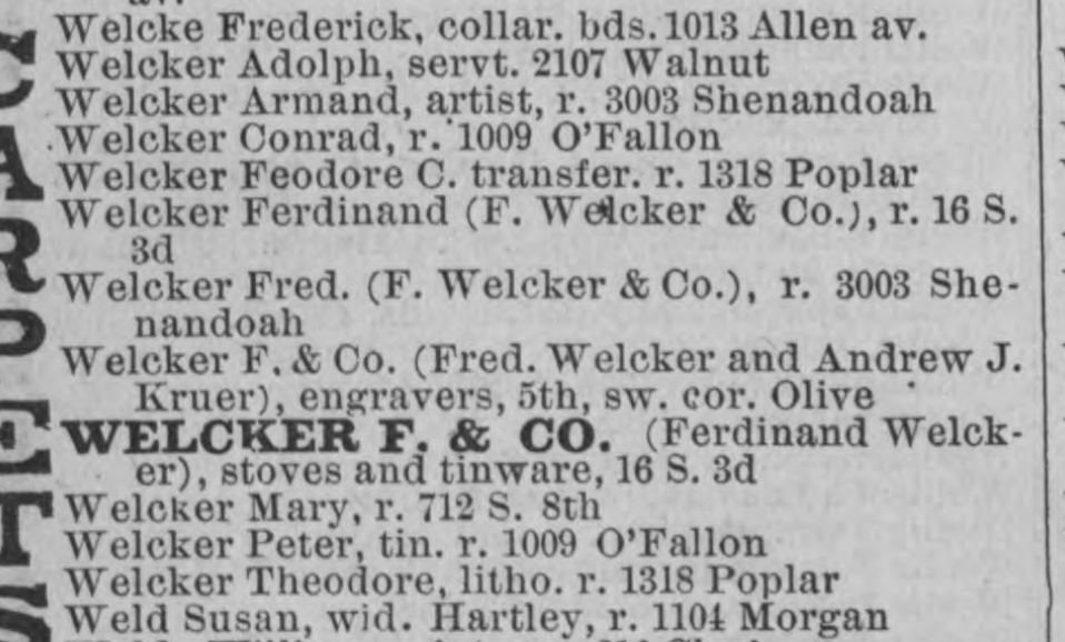
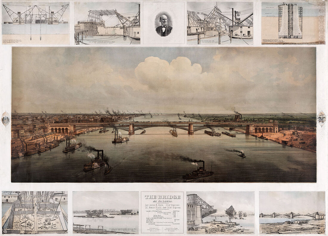
The city assessor says that structure was built in 1922. I disagree. That said, its architecture doesn't really scream pre-1922. From above, that structure, again outlined in yellow, looks like this: That shape looks an awful lot like the one called out as 3003 Shenandoah in the 1903 Sanborn map, which makes me pretty confident that the assessor's records are incorrect (they usually are, and are usually based off the oldest, most easily found building permit -- which could have been issued for any number of alterations to the structure). The building shape matches, the porch matches, and the listed number of stories ("2") matches. So far, I think we can conclude that the building dates to at least 1903, but let's keep going. When the Sanborn map was produced, 1903, the city directory shows its occupants as Armand and Pauline Welcker. Pauline's late husband was named Frederick; Armand was their son. Going back another 10 years - to 1893 - the city directory again shows the Welckers at 3003 Shenandoah. Going back to the 1883 city directory, same story, with a little added information. There were a couple handfuls of Welckers in the city in 1883, with Armand and Fred(erick) living at 3003 Shenandoah, presumably the same structure they lived in in 1893, and 1903, which per the 1903 Sanborn map is the building that still stands today. I can't imagine that they'd have occupied a different structure in, say, 1890, had it torn down, erected a new building on the exact same lot, and continued living at the same address. People didn't do that; if they wanted a different house they just moved. Based on the information gathered, I think it's possible that the subject building dates back to at least 1883, albeit with some major alterations. The 1883 city directory also gives us a little information about what Frederick and Armand did for a living. Armand was as an artist, while Frederick worked for F. Welcker & Co., listed elsewhere in the city directory in the lithographer category of businesses, as an engraver at the corner of 5th and Olive. Frederick died in 1887 but if one knows how to work the Google machine, much of his work is still visible today. For example, here's one (and probably my favorite) of his lithographs: Frederick's wife Pauline died in 1916 and about that same time, Armand falls off the map. No idea whatever became of him, but much like his dad, a lot of his artwork can be found via the Google machine. Anyhow...I'll call the building on lot 2 of block 1375 a "maybe". Maybe it's original construction was pre-1883, maybe it wasn't. Hard to say, given the available information. But, it's still kinda cool to see the artwork - today - of the people who lived in the house around that time.
Comments are closed.
|
Archives
July 2024
|
